|


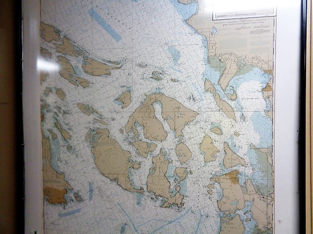
| Map of the San Juan Islands. Orcas is the furthest north, in a horseshoe shape. You can tell we were quite a bit north of Victoria, Canada, yet still in US waters.
23 November 2017 |
 |
|
|
|


| Total images: 110 | Help |
|
| Map of the San Juan Islands. Orcas is the furthest north, in a horseshoe shape. You can tell we were quite a bit north of Victoria, Canada, yet still in US waters.
23 November 2017 |
|
|
|
|
| Total images: 110 | Help |